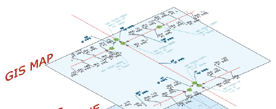
| Our services include digitization
of geo-spatial features, data extraction of attributes from
raster image or paper maps, data entry into database and linking
of database to drawing for GIS projects.
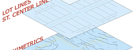
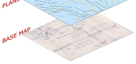
Maps are digitized manually using CAD overlay
method where raster image of the map is used as a backdrop.
Both the drawing and the data are checked for correctness
before linking them together.
Software used for GIS data layer work includes
AutoDesk's AutoCAD Map, ESRI's ArcGIS.
|